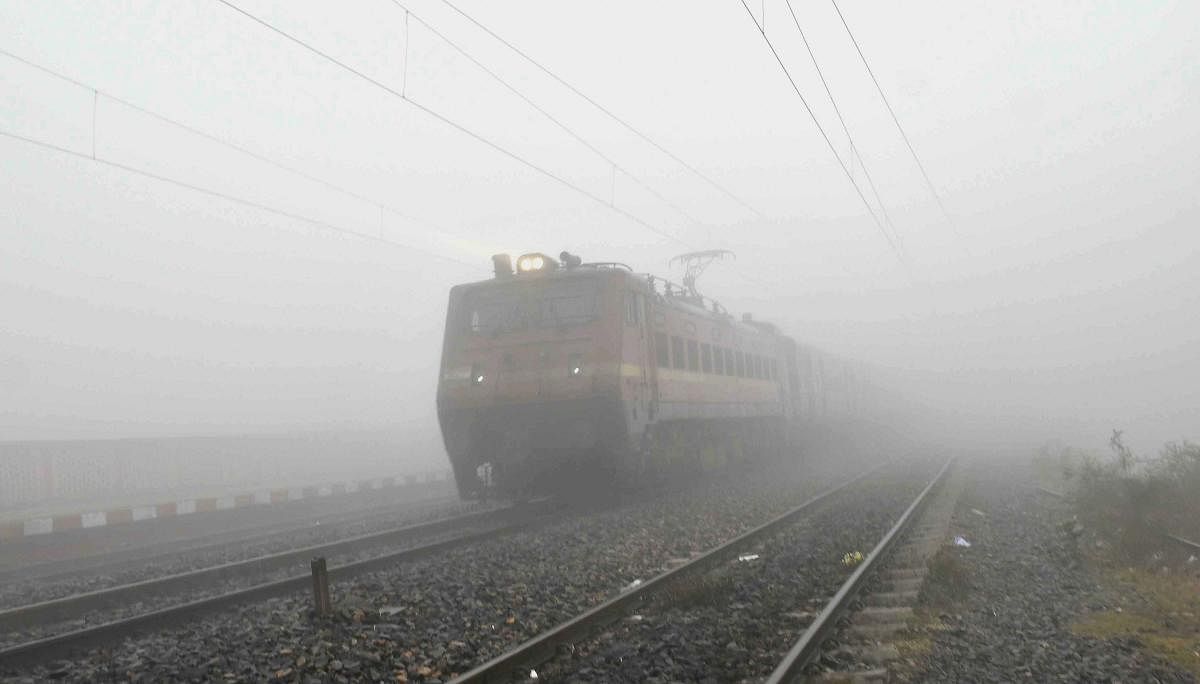
Indian Railways said that 20 trains arriving in Delhi were delayed by up to five hours due to foggy weather.
Credit: PTI File Photo
New Delhi: The layer of early-morning fog over the Indo-Gangetic plains in north India thinned in some parts on Wednesday, officials said.
Satellite imagery showed a reduction in fog over Bihar, eastern Uttar Pradesh, northern Madhya Pradesh and Delhi.
However, dense fog continues to prevail over parts of Punjab, Haryana, western Uttar Pradesh and Rajasthan.
A spokesperson for the Indian Railways said that 20 trains arriving in Delhi were delayed by up to five hours due to foggy weather.
At 5:30 am, visibility levels stood at 25 metres in Patiala, Ambala and Bareilly, 50 metres in Hisar, Churu and Bahraich and 200 metres in Lucknow and Purnea.
At the Palam Observatory near the Indira Gandhi International (IGI) Airport in Delhi, visibility was limited to only 200 m.
Early-morning foggy weather in north and northeast India has heavily impacted road, rail and air traffic over the last fortnight.
On Monday, five flights were diverted and more than 100 delayed at the Delhi airport.
Civil Aviation Minister Jyotiraditya Scindia said on Monday that all stakeholders are working round-the-clock to minimise fog-related disruptions.
The Delhi airport was asked to expedite the operationalisation of the CAT III-enabled fourth runway in addition to the existing CAT III-enabled runways.
Generally, CAT III compliance refers to flight operations in low-visibility conditions.
As the blinding fog lowered visibility levels at several places on Tuesday night, the India Meteorological Department (IMD) advised people to avoid unnecessary travel and take precautions while driving.
The IMD said dense to very dense fog conditions are likely to prevail over north India for the next five days.
It said cold-day to severe-cold-day conditions would persist over the northern plains for two more days.
"Cold wave to severe cold wave conditions are likely to continue over northwest India for five days," it said.
In the plains, the MeT office declares a cold wave if the minimum temperature dips to 4 degrees Celsius or when the minimum temperature is 10 degrees or below and is four-and-a-half notches below the normal.
A severe cold wave is when the minimum temperature dips to 2 degrees Celsius or the departure from the normal is by more than 6.4 degrees.
A cold day is when the minimum temperature is less than or equal to 10 degrees Celsius below the normal and the maximum temperature is at least 4.5 degrees below normal.
A severe cold day is when the maximum is 6.5 degrees Celsius or more below normal.