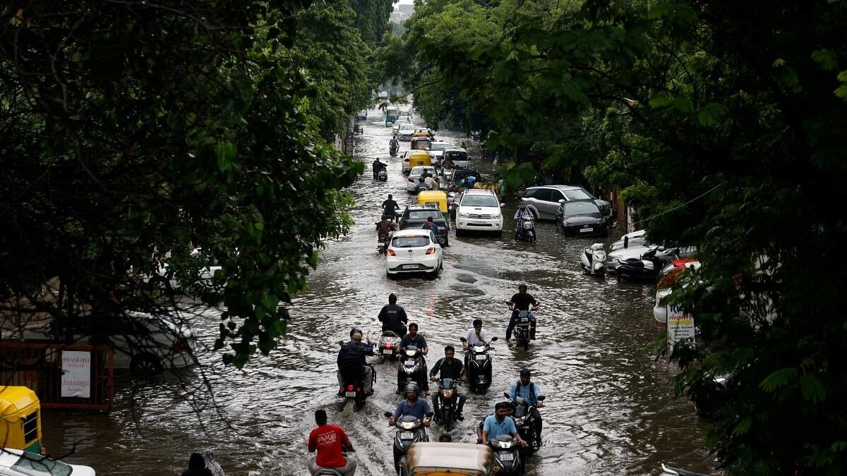
Traffic moves through a flooded road after heavy rains in Ahmedabad, Gujarat.
Credit: Reuters Photo
New Delhi: After a wet August due to a very unusual cyclone, India is set to experience above normal rainfall in September too as at least four low pressure systems may form over the sea in next three weeks triggering widespread rain in most parts of the country, the India Meteorological Department said here on Saturday.
Weather models suggest formation of two cyclones, one over the Arabian Sea and the other one the Bay of Bengal in the first week of September followed by two more – one each in the second and third week.
“All are expected to move west-north-westwards from north Bay of Bengal and hence extended range forecast indicates good monsoon rainfall during September for the country,” said Mrutyunjay Mohapatra, director general meteorology at the IMD.
The September rainfall is likely to be 109% of the monthly average of 168 mm. But heavy rainfall may not happen in the southern parts of peninsular India, north Bihar, extreme corners of north west India and parts of the North East.
Cumulatively, the country has received nearly 7% more than its average rainfall since the beginning of the monsoon season on June 1.
August was particularly beneficial as the month did not witness any break as forecast by the IMD that anticipated a hiatus after the second week. With nearly 16% more rainfall, the month ended as the fifth highest August rainfall month since 2001.
This happened due to an unusual cyclonic activity, which is only the fourth such storm in the last 133 years. It eventually transformed into cyclone Asna that brought heavy rainfall in Gujarat and other parts of the west coast.
Cyclone Asna began as a low pressure area in the Bay of Bengal around Aug 16. It didn’t move for nearly a week because of a counter wind in eastern India. The low pressure system began moving on Aug 22, raced past Jharkhand on Aug 24 and became a deep depression over west Madhya Pradesh and east Rajasthan by Aug 25 night.
Since it stayed close to the Bay of Bengal for a long time, it collected enough moisture and gathered more from the Arabian Sea when it reached west Madhya Pradesh to gather more strength. It intensified into a cyclonic storm on Aug 30.
It was only the fourth such cyclonic storm over Arabian Sea in August since 1891. Earlier it happened in 1944, 1964 and 1976. All were formed over the land and ended up in the Arabian Sea.
Asked why the Met agency could not foresee such a wet August, Mohapatra said excessive rain happened due to low-pressure systems and two active depressions, which could not be picked up by weather models.
“Globally weather models have limitations. It is not possible to pick up the low pressure systems in seasonal predictions like the one given a month in advance,” he said.
