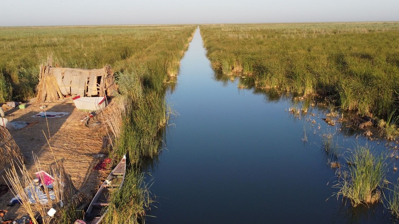
Wetland governance in Karnataka is presently administered under Karnataka Tank Conservation and Development Authority (KTCDA) Act, 2014.
Credit: Reuters Photo
The Wetland Authority Karnataka has come up with a plan to survey 16,700 tanks and lakes bigger than 2.25 hectare (5.55 acre), each of which will be assigned a unique identity number, along with the brief documentation of its custodian, owner and encroachers, which will help in monitoring its conservation and sustainable use.
The development comes in the wake of a Supreme Court direction to the Centre to protect the 2 lakh wetlands in the country. While the Centre had identified about 15,000 wetlands, the state government took the help of Karnataka State Remote Sensing Applications Centre (KSRSAC) to identify 16,700 water bodies that fit the wetland criteria.
Officials said the revised rules issued by the Centre, the Wetland (Conservation and Management) Rules 2017 and the guidelines issued in 2020, will be followed during the exercise. This includes developing the documentation with all the parameters laid down in the guidelines.
Additional Principal Chief Conservator of Forests (Technical Cell), Environment Department R Gokul said after completing the initial study through KSRSAC, the authority has now proposed ground truthing for developing a mechanism to monitor the progress.
This includes roping in an agency like the Environmental Management and Policy Research Institute (EMPRI) for conducting a ground-level assessment.
“Here, the extent of the lake and its owner or custodian will be ascertained and a unique ID will be assigned to the water body. All the information will be geo-tagged and uploaded to the wetland authority portal,” he said.
Detailed exercise planned
This will be followed by the detailed exercise, in which the custodian/owner of the wetland prepares the brief document with details, from extent of the water body, zone of influence, encroachments, ecological properties, water quality and other details.
As per the guidelines, the state government has to issue a draft notification indicating the wetland to be covered under the wetlands rules, which includes the list of activities prohibited, regulated and permitted in the wetland and its zone of influence. The document will have the name and contact details of the nodal person, who will have the authority to enforce the rules and issue permissions.
Officials noted that developing such granular data involves working with various departments. “We have set an ambitious deadline of the end of 2025 to complete the exercise. However, in all likelihood, the work will be completed by 2026,” an official said.