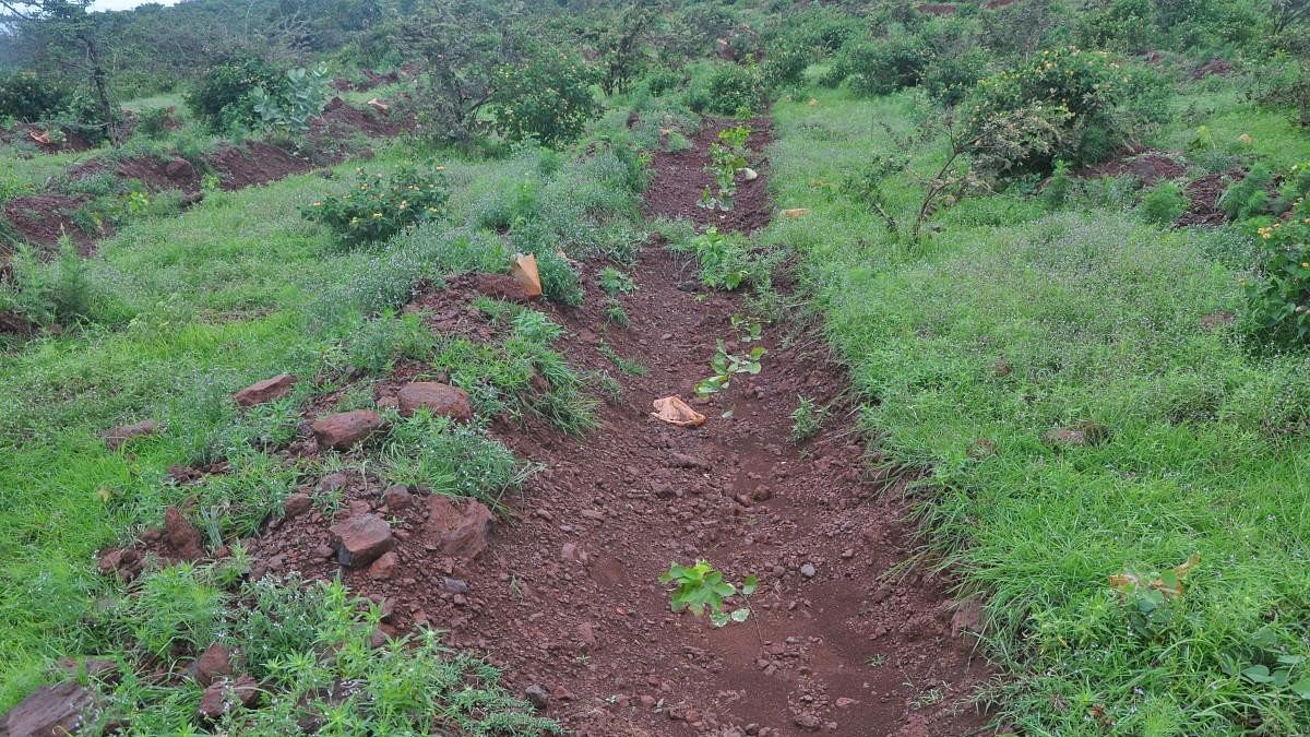
Representative image of a forest in Karnataka.
Credit: DH Photo
Bengaluru: After a battle spanning six decades, over 1,000 people who live in the forests of Chamarajanagar — including forest dwellers, tribals and farmers — may finally get ownership of their lands.
The state government’s revenue and forest departments have taken up a joint survey to mark forest lands and identify areas that have been de-reserved. The survey will cover approximately 7,700 acres of land and help the authorities determine the areas that have to be denotified. Once the lands are denotified, farmers of the area will receive their land records.
These portions of the notified forest land in Chamarajanagar were released in the early 1960s because they had been used by the local communities for a long time.
Though the communities have been issued release orders and ‘saaguvali cheetis’ (authorisation to take up farming) even before the implementation of the Forest (Conservation) Act in 1980, their Record Rights, Tenancy and Crops (RTC) still indicate the areas as forests.
Chamarajanagar Deputy Commissioner Shilpa Nag said the joint survey could help both farmers and the government.
“Farmers in these areas have the ‘saaguvali cheetis’ but do not have ownership over their land since the area has yet to be denotified. The survey will help them get their records that they can use to get loans and other benefits. It will help the government mark the boundaries and protect the forest land from encroachments,” she told DH.
“The survey will help them get their records that they can use to get loans and other benefits. It will help the government mark boundaries and protect forest land from encroachments,” she said.
Farmers from these areas said the survey had sparked hopes among the community.
“It seems like a dream come true. I am 45 now. Since I was 15, I have seen my father struggle to get land records. Finally, we are seeing some progress,” said Mahadeva Nayak T, one of the beneficiaries from Veerayanapura village.
Close to 50% of area in the district is covered with forests, making it crucial for the government to identify and mark forest land. Of the close to 7,700 acres under question, surveys of approximately 6,500 acres have already been completed and 1,226 beneficiaries have been identified.
Beneficiaries also hope that the government will convert their areas into revenue villages so that their ownership is formally recognised and they will receive potable water, electricity and roads.
“We are hoping that we will be recognised as a ‘revenue village’. We have been waiting for this since the tag comes with all government facilities,” said Mahesh Nayak, a representative of Soliga and Lambani communities in Kolipalya village.
Highlights - Setting the record straight Revenue and forest dept to survey 7,700 acres and determine areas to be denotified Once this is done, farmers in the area will get land records Nearly 50% of Chamarajanagar dist is covered with forests, making it crucial for govt to demarcate it