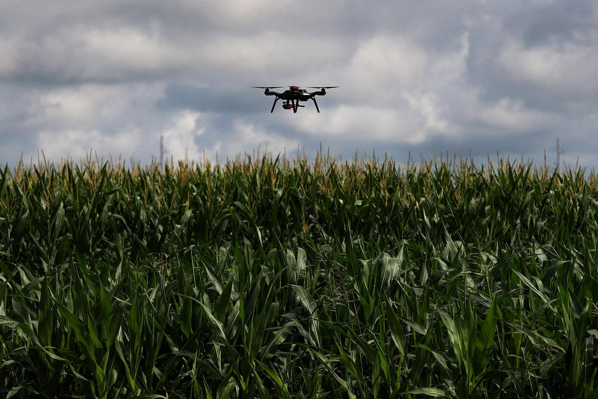
The drone-based survey of properties, done in Jayanagar last week, is coming to Ramanagaram on Monday.
Chief Minister H D Kumaraswamy will launch the pilot project in the silk town, Revenue and Skill Development Minister R V Deshpande said on Sunday.
The project aims to determine the drones' efficacy in accurately surveying properties and build a functional model that can be expanded to the whole of Karnataka. The government plans to survey a total of 2.5 crore agricultural plots and 50 lakh urban properties across the state in about two years, he added.
On July 9, the Survey, Settlement and Land Records Department employed drones to survey about 4,000 properties in the southern Bengaluru neighbourhood of Jayanagar. The survey, done in coordination with the Survey of India, was completed in two days and its data is currently under analysis.
The Karnataka Land Revenue Act, 1964, mandates that a land survey be carried out every 30 years, Deshpande said. But the traditional method of manual survey takes decades to complete, making it a mammoth and tedious exercise. The manual survey is also prone to human bias and errors. Considering these factors, the government has decided to take up drone-based surveys that are seen as being objective, accurate and providing an up-to-date map of each property at one-tenth of the time of the traditional survey, while also costing less, Deshpande said.