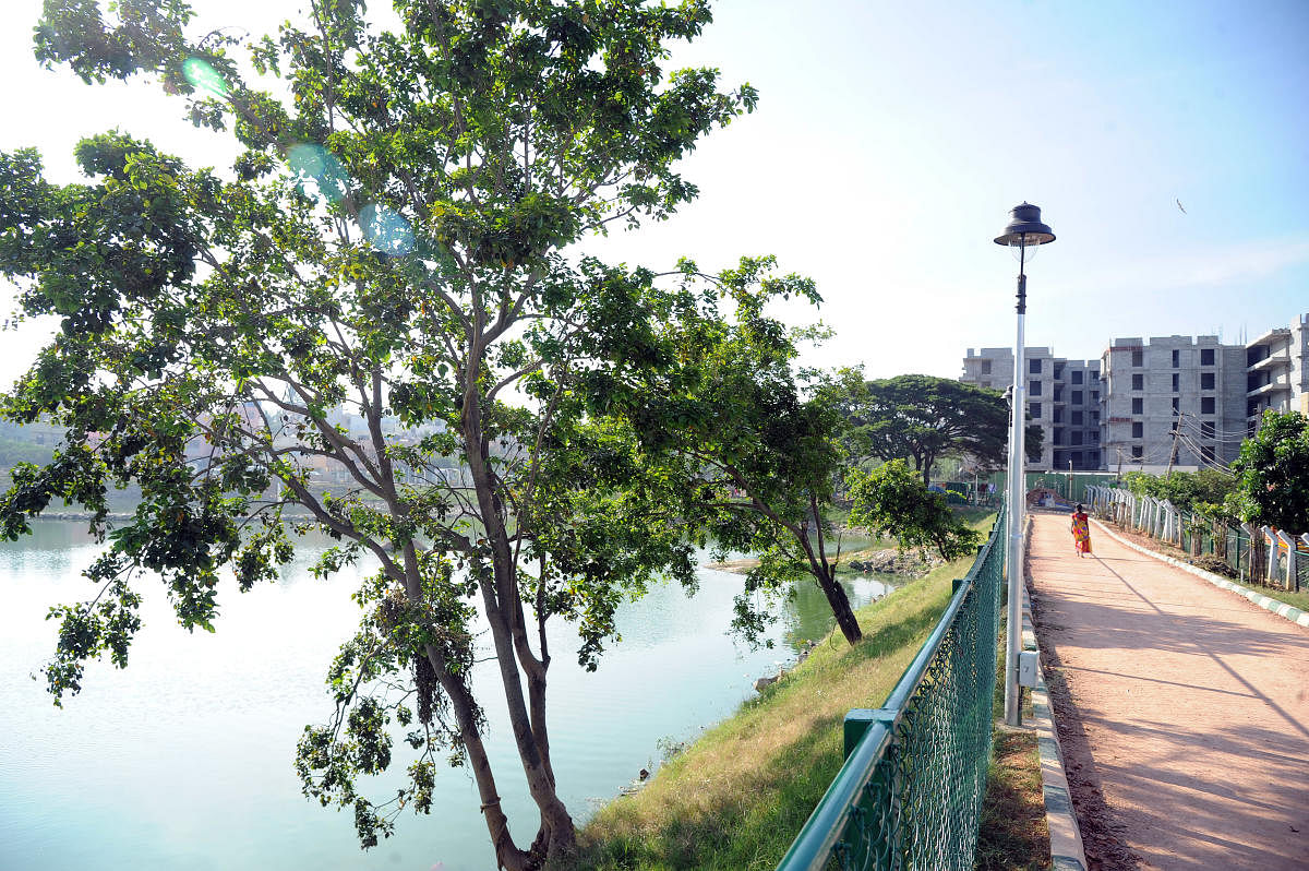
A fake survey sketch, seal and signature of tahsildar were used to usurp government land within the buffer zone of Annayyappa lake at Yelachenahalli in Uttarahalli. Though forgery and misrepresentation was established, no action has been taken against the erring officials.
The encroachment was noticed by the members of the Lancha Mukta Karnataka Nirmana Vedike in 2015. The vedike members noticed two types of encroachments at the lake. One was the encroachment of kaaludari (footpath) by a builder. The kaaludari is the only approach road to around one acre of government land, within the buffer zone of the lake. The second was the issuance of plan sanction to the building, which in reality is beyond 30 metres of the buffer zone of the lake, the vedike claimed.
The members had filed two separate complaints with the assistant executive engineer concerned in Yelachenahalli. When no action was initiated, a complaint was filed with the joint director (Town Planning) of BBMP and then the Bangalore Metropolitan Task Force (BMTF). The complaints were clubbed and taken up for enquiry.
“We kept enquiring BMTF about our complaint in 2016, 2017 and 2018. In September, it gave us an endorsement that the complaint has been closed after obtaining materials from the officials concerned,” said V R Marathe, president of the vedike.
“We had to again write to them asking on what basis the complaint was closed. We were given copy of a sketch allegedly issued by the tahsildar. The sketch moved the kaaludari to a different side,” Marathe said.
The sketch was issued in April 2018 and the members of the vedike immediately raised the issue with the tahsildar’s office and the Joint Director of Land Records (JDLR). “Both the tahsildar’s office and the survey department confirmed that the sketch was a forged one. So much so that the signature does not match with any of the officials in the department. However, when no action was taken, we again wrote to the JDLR and tahsildar requesting them to initiate criminal proceedings. In case they don’t take action, we will file a criminal complaint. Now we are told that some officials are proposing to change the footpath itself to facilitate the builder. The procedure is called Patha Badalavane, which in this case, will authenticate the forged document,’’ Marathe said.
As far as the buffer zone is concerned, the vedike members claim that while sanctioning the plan, the BBMP stated that the said construction site was beyond 30 metres of the lake. However, when a fresh survey was conducted in 2017, it was found that a portion of the construction was within the buffer zone.