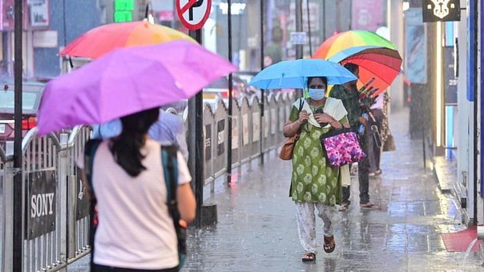
Tuesday’s thunderstorm in Bengaluru was convective rainfall caused by a trough running from Vidarbha to South Tamil Nadu across South Interior Karnataka, according to the India Meteorological Department (IMD).
Bengaluru Urban, Rural, Kolar, Mandya and a few other districts of South Interior Karnataka will get heavy rainfall for four more days, said A Prasad, the head of the IMD’s meteorological centre in Bengaluru.
“The trough has triggered deep convection that will last three to four more days,” he told DH.
While the IMD has issued an orange alert (moderate rainfall with surface wind speeds of 40-50 kmph) for Bengaluru on Tuesday night, its forecast for Wednesday is a yellow alert. This means that while the city will experience a thunderstorm, its intensity will be restricted by surface winds travelling at less than 40 kmph.
The mean daily maximum temperature in Bengaluru, which stayed a degree above normal in the last few days, saw a sharp drop following the thunderstorm, Prasad said.