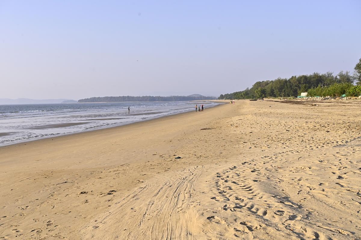
The Arabian Sea, in and around Karwar, has receded 175 metres since 1932, leading to the creation of 150 hectares of land, according to a study.
Prakash Mesta, a scientist with the Kumta-based Centre for Ecological Sciences Field Station of the Indian Institute of Science, which conducted the study, told DH that this disturbing trend is posing a threat to marine life. The study on the condition of the shoreline attributed it to deposition of vast amounts of sand.
“Waves transport huge volumes of sand and fine particles over long distances and deposit them on beaches. It is a natural phenomenon in seas and oceans. This activity, however, has increased considerably in the recent years, creating vast tracts of land,” the marine biologist explained.
“Sea erosion on the Karnataka coastline has been rampant in recent years. In reality, sea erosion is natural and a real threat to the shoreline in Ullal, Honnavar and Kasargod. But in other parts, it is the sand deposited by the sea that was eroded,” Mesta said.
Mesta said the study was taken up using the topo sheets (topographic maps) created by the British in 1932. These were revised by the government of India in 1975.
After comparing the topo sheets with recent maps through a GPS device, it was found that the recession of the sea due to sand deposition and other factors has added 150 hectares of land on the Karwar coast, he explained.
Mesta said the receding sea would affect the marine food chain. “It would destroy the minute microorganisms thereby causing a shortage of food for marine life,” Mesta feared.