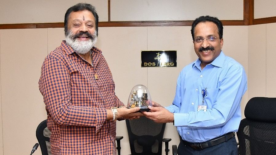
Suresh Gopi (L) and S Somanath during the minister's visit to the ISRO headquarters on Tuesday
Credit: ISRO
Bengaluru: The Indian Space Research Organisation (ISRO) has extended support to mitigate flood risks associated with the Mullaperiyar and Idukki dams in Kerala.
ISRO’s assurance in this connection came following an interaction between its chairman S Somanath and the Minister of State for Petroleum and Natural Gas and Tourism Suresh Gopi, at the ISRO headquarters here on Tuesday. They discussed the use of space technology-based inputs for the analysis of flood risks associated with these dams.
Raising concern over the rise in the number of extreme weather events across the country, the minister underscored the need to evaluate the worst-case flood scenario linked to the two dams.
Somanath assured ISRO’s support in the form of high-resolution terrain data available to researchers engaged in flood modeling, to assess probable inundation and identify potential rehabilitation areas.
The ISRO Chairman suggested developing a prototype solution integrating flood risk with rescue and rehabilitation planning, along with satellite communication capabilities.
Prakash Chauhan, Director of ISRO’s National Remote Sensing Centre (NRSC), Hyderabad, and his team presented the spatial flood early warning system developed by NRSC for the Godavari and Tapi rivers.
Prof Jaison Paul Mulerikkal, Principal, Rajagiri School of Engineering and Technology, Kochi, and his team presented their ongoing research on flood risk modeling in the Periyar river basin. Sunil Paul from the Christ College of Engineering, Ernakulam, explained the development of a remotely operated solution for surveying underwater terrain and assessing siltation in dams.