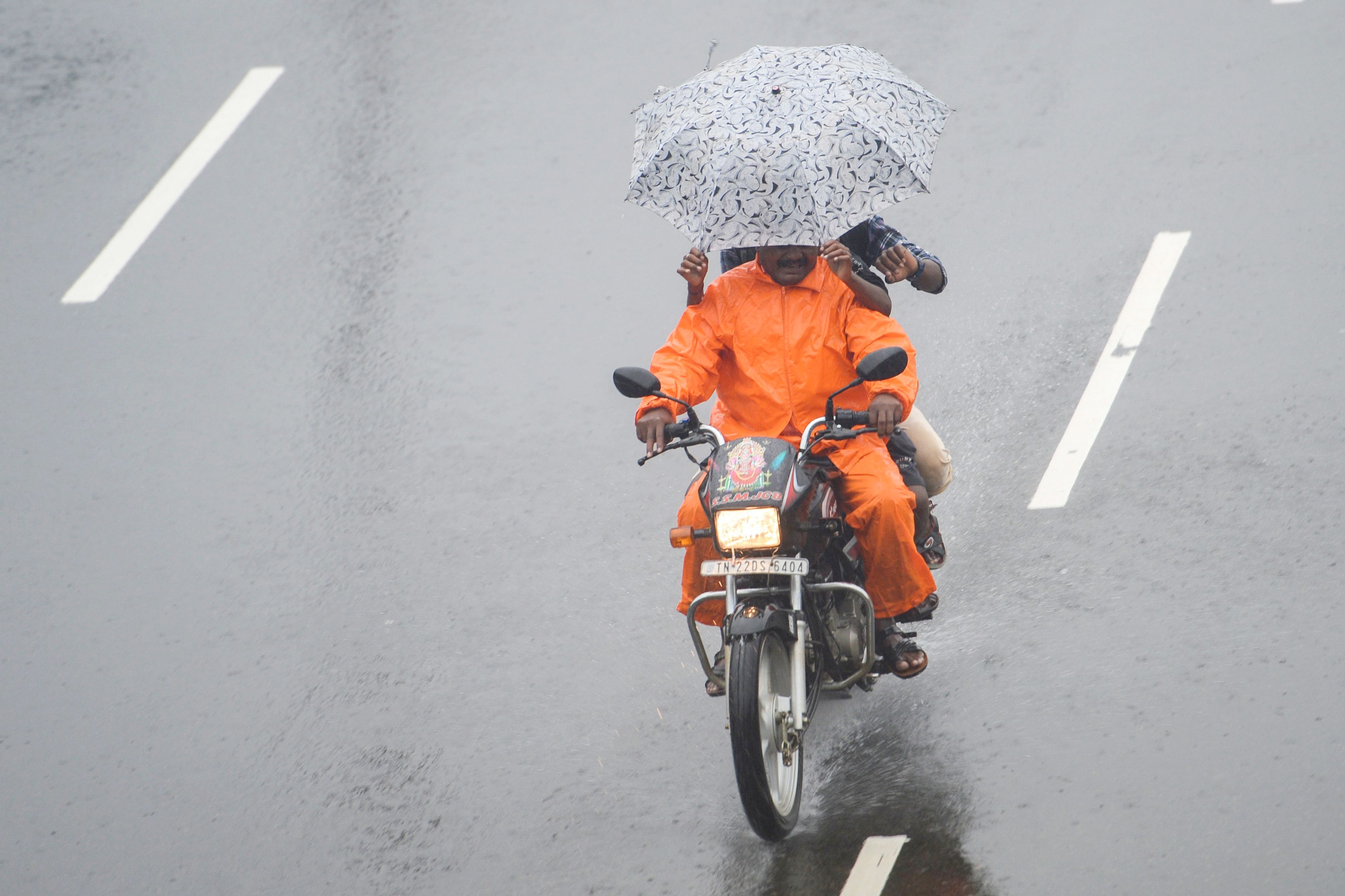
Tamil Nadu stares at yet another potential cyclone with a low-pressure area likely to concentrate into a depression by Monday bringing more showers to the state already battered by torrential rains.
This comes days after cyclone Nivar made landfall between Tamil Nadu and Puducherry coasts in the wee hours of November 26. Even before the state assesses the damages caused by the cyclone, Tamil Nadu will get more rains from November 30.
The low-pressure area has been formed over south Andaman sea and adjoining areas of south-east Bay of Bengal and Equatorial Indian Ocean.
“It is very likely to concentrate into a depression during the next 36 hours and likely to intensify further thereafter. It is likely to move west-north-westwards and reach near south Tamil Nadu coast around December 2,” Dr N Puviarasan, of the Area Cyclone Warning Centre, Regional Meteorological Centre, Chennai, said.
He added that light to moderate rain is likely to occur at isolated places over Tamil Nadu, Puducherry and Karaikal area from November 30 to December 2.
Earlier, at least four persons lost their lives due to cyclone Nivar but the damage was not as heavy as it was expected due to the wind speeds that the cyclone packed with it.