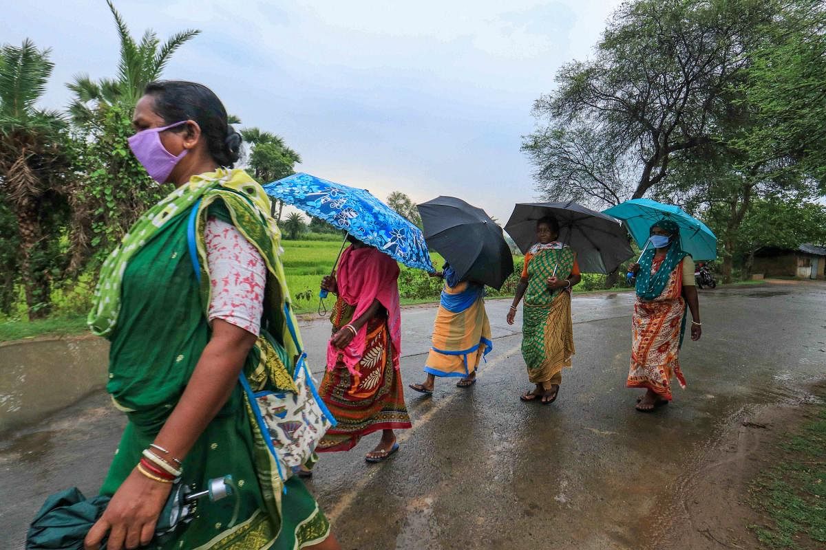
For the next ten days, central India is set to receive copious rainfall, thanks to the south west monsoon that brought plenty of rains so far.
This will happen because of the formation of monsoon low - a shallow weather system unlike cyclones, which gives plenty of rains - over the Bay of Bengal.
The country as a whole received nearly 34% excess rainfall so far while central India has been showered with 95% additional rain so far, much to the happiness of the farmers.
"Monsoon is progressing well after a small delay due to cyclone Nisarga. Cyclone Amphan didn't have a large scale impact on monsoon. It looks like the monsoon is going well. No worries," M Rajeevan, Secretary, Ministry of Earth Sciences told DH.
Cyclone Amphan created a temporary lull in the monsoon onset and initial progression over the Bay of Bengal.
"Meanwhile Cyclone Nisarga pulled the monsoon up along the west coast, which resulted in a slightly early onset over southwest India. The west coast cyclone was also followed by a lull in further progression. But monsoon has slowly picked up after that with a monsoon depression moving into the land from the Bay," said Roxy Mathew Kill, a senior scientist at the Indian Institute of Tropical Meteorology, Pune.
The peninsular India got 28% more rainfall while north west India received 42% excess rainfall even though that is due to a different weather phenomenon known as Western Disturbances.
Because of the monsoon low, widespread rainfall activity with isolated heavy to very heavy falls is likely along the west coast of Odisha and northeast India in the next five days.
"For now, most of the rainfall activities would be restricted to the eastern parts of central India. No break is expected for the next 10 days," Rajeevan said.
Fairly widespread to widespread rainfall with isolated heavy to very heavy falls is very likely over central and adjoining east India during next 3-4 days.
Scattered rainfall activity is very likely over south peninsular India in next 4-5 days and isolated to scattered rainfall.
For north west India, isolated thunderstorms and lightning is likely to happen over plains of northwest India in the next 3 days.
The monsoon trough now runs from northwest Rajasthan to north interior Odisha across north Madhya Pradesh and north Chhattisgarh.
