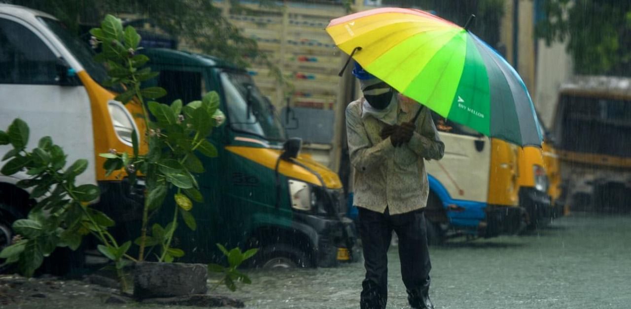
After the northern parts of the state, it is now the turn of Southern Tamil Nadu to face a cyclone. A deep depression in the Bay of Bengal intensified into Cyclone Burevi on Tuesday and is likely to cross the Tamil Nadu coast between Pamban in Rameswaram and Kanyakumari on Friday morning.
Under the influence of the cyclonic storm, southern districts and parts of northern Tamil Nadu are likely to be pounded by heavy rains for four days beginning Tuesday. The state government asked administrations of nine districts – Kanyakumari, Tirunelveli, Thoothukudi, Tenkasi, Sivaganga, Theni, Dindigul, Ramanathapuram, and Virudhunagar – to remain on high alert and move people living in low-lying areas to safety.
The state braces for a second cyclone in just about a week – Cyclone Nivar which made landfall between Tamil Nadu and Puducherry in the wee hours of November 26 claimed four lives and uprooted over 1,000 trees.
Chief Minister Edappadi K Palaniswami held a review meeting on Tuesday to check the administration’s preparedness to face the cyclone, while the National Disaster Response Force (NDRF) pre-positioned nine teams in southern Tamil Nadu.
At 5.30 pm on Tuesday, Cyclone Burevi was moving at a speed of 9 kmph and lay centered at about 400 km east-south-east of Trincomalee in eastern Sri Lanka and 800 km east-south-east of Kanyakumari.
“It is very likely to move west-northwestwards and cross Sri Lanka coast close to Trincomalee during evening or night of December two as a cyclonic storm with a wind speed of 75-85 kmph gusting to 95 kmph. It is very likely to move nearly westwards thereafter, emerge into Gulf of Mannar and adjoining Comorin area.
“It would then move nearly west-south-westwards and cross south Tamil Nadu coast between Kanyakumari and Pamban around the early morning of December 4,” the IMD said in its update at 8.30 pm on Tuesday.
It added that Kanyakumari, Tirunelveli, Thoothukudi, Tenkasi, Ramanathapuram, and Sivaganga districts will receive heavy to very heavy rainfall, while isolated places in Pudukkottai, Virudhunagar, Madurai, Thanjavur, Thiruvarur, Nagapattinam, Karaikal, Cuddalore, Ariyalur, and Perambalur districts will receive rainfall over the next few days.
Tamil Nadu Revenue Minister R B Udhayakumar said the impact of the cyclone could be felt from Kanyakumari to Madurai while contending that the government was prepared to face the cyclone. The government has also identified flood-prone areas in the southern districts and is planning to move people living in those areas to safety.